
Public sample Data files
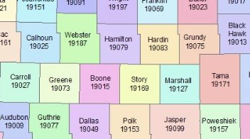
Spreadsheet List of All counties in West Virginia.csv

Turn Price Transparency Data into Actionable Market Intelligence
Healthcare organizations are using machine-readable price transparency data to uncover real market dynamics. Gigasheet's breakthrough analytic platform helps you translate that data into clear, decision-ready insights.
Analyze negotiated rates across payers and providers, identify pricing variation, benchmark against the market, and surface opportunities to improve contracts and reduce costs. This sample dataset is a preview of what’s possible.
Gigasheet scales from high-level aggregates down to row-level detail across billions of records, in a single click. Our analytics are enabling deeper analysis that leads to better decisions, stronger negotiations, and measurable financial impact.
Book A Demo
More Sample Data Files

.png)


Engagement Insights: Analyzing the Top 1000 Posts from the Writing Prompts Subreddit


War on the Water: A Comprehensive Review of WWII U-boats and Their Naval Engagements


100,000+ people use Gigasheet.


