Public sample Data files
Spreadsheet List of All counties in Indiana.csv

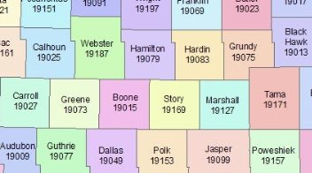
This table contains information about all counties in Indiana, including their names, geographical coordinates (latitude and longitude), population, and other identifying attributes. It can be used for various purposes such as geographical analysis, population studies, and demographic research in the state of Indiana.
View in Gigasheet ➜Unlock Market Intelligence from Big Data with Gigasheet
Price Transparency Data: Healthcare organizations are turning massive machine-readable price transparency data into competitive advantage with Gigasheet. Our platform helps providers and payers easily analyze newly published pricing files – no coding required. With Gigasheet’s no-code big data platform for healthcare, users can transform Transparency in Coverage (MRFs) files into interactive reports and compare negotiated rates across payers and providers to spot opportunities. Learn how our healthcare price transparency tools drive smarter contracts and cost savings by exploring Gigasheet’s price transparency data solution for actionable analytics.
More Sample Data Files

Engagement Insights: Analyzing the Top 1000 Posts from the Writing Prompts Subreddit
October 12, 2024

War on the Water: A Comprehensive Review of WWII U-boats and Their Naval Engagements
October 12, 2024
100,000+ people use Gigasheet.
Self-service analytics for huge files, databases, warehouses and more.

No Code

No Training

No Install


